Visit website
Felt
0 views3mo ago
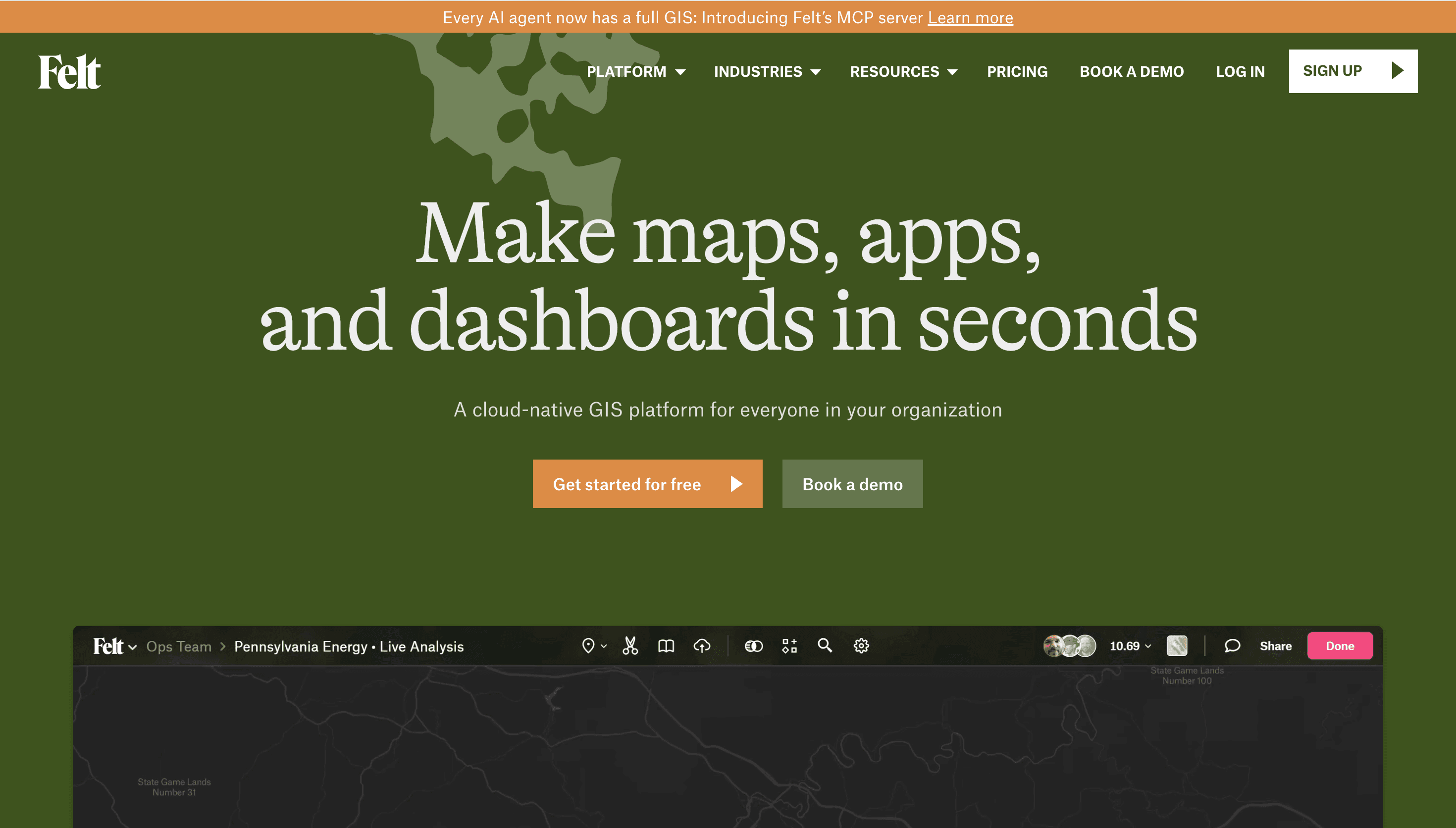
Concept
Felt offers a modern, collaborative approach to Geographic Information Systems (GIS) and online mapping. It focuses on real-time teamwork, allowing multiple users to contribute and interact with maps simultaneously. The platform aims to simplify complex spatial data visualization and analysis for various professional needs.
Visual Language & Motion
The platform features a clean and intuitive interface designed for ease of use. Visualizations are clear and interactive, enabling users to explore geographic data effectively. While specific motion design details are not explicitly stated, the emphasis on real-time collaboration suggests a fluid and responsive user experience.
UX & Performance
Felt prioritizes a seamless user experience through its cloud-native architecture, ensuring accessibility from any device. Real-time collaboration is a core feature, enhancing productivity and communication among team members working on spatial projects. Performance is optimized for handling and displaying geographic data efficiently.
Takeaway
Felt redefines collaborative mapping by providing a powerful, yet accessible, cloud-based GIS solution. Its focus on real-time interaction and a user-friendly interface makes it a compelling tool for teams needing to visualize, analyze, and share geographic information.